Cybersecurity in the Geospatial Industry is Still in its Infancy
The headline might seem sensational, but there’s a good reason for it:
Cybersecurity is on shaky ground when it’s not given enough thought, and the possibility of threats is not recognized or considered in service design and data handling. Information security has been a part of IT for a long time, and even regular technology users have come to understand its importance. However, for some reason, cybersecurity has not received the attention it needs in the geospatial industry. Our geospatial industry experts must keep our information security knowledge current and understand its importance in our work.
Lately, there has been a lot of public discussion about the security of geospatial data, and the industry has become aware of several security issues for which solutions are now being urgently sought. While this discussion is ongoing, there are many things we, as experts, can do to improve cybersecurity practices in the entire geospatial industry. Below are ways to incorporate good information security practices into our everyday geospatial work.
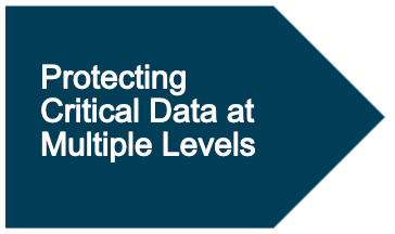
It’s possible to utilize role-based access control in geospatial services, which is typical, especially in license-based services. It’s essential to keep both access rights and data up to date. Services can also include solid or multifactor authentication-required login, although this security form has yet to reach the geospatial front. Protecting data by using encrypted transmission channels and storage locations and utilizing known and secure networks is essential.
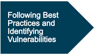
It’s crucial to familiarize oneself with the best practices in the field and act accordingly. It is particularly important to be aware of the vulnerabilities of the services and tools used and to react quickly to any changes. This requires incorporating a security assessment into all implemented services. When the lifecycle, update cycle, and known vulnerabilities of used technologies are known, it becomes easier and more effective to prepare for and react to potential threats. Additionally, the assessment helps choose the most suitable, stable, and secure technologies for the service and reminds us to keep the used systems current.
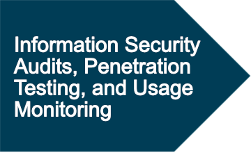
Here’s where the geospatial industry needs to improve! Regular information security audits, penetration testing, and monitoring of service use help identify vulnerabilities and improve stability. Unusual activity can be automatically detected by monitoring the use of the service and notifying the service administrator, enabling a quick response and, if necessary, shutting down the service where a threat has been detected. Threat prevention and monitoring include appropriate authentication, authorization, input checking, and identifying and monitoring unusual or harmful calls. Additionally, precise data checks should be used to prevent potential injections hidden in the data that can lead to widespread vulnerabilities.
However, the most essential aspect of promoting and implementing cybersecurity in geospatial data is identifying and recognizing potential risks. Therefore, we should also make more noise about information security issues in the geospatial industry, educate ourselves in cybersecurity, discuss the general security situation, and close the security gaps in our services.
When risks are known, remembered, and discussed, they are also easier to consider as part of everyday work!